Focus Catchment Map Series
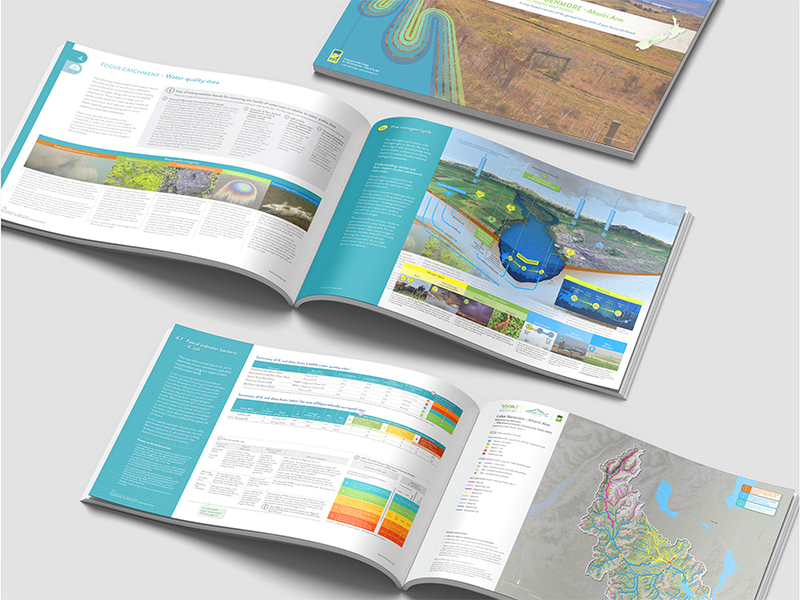
As part of the ‘Wai Connection – Tatai Ki Te Wai’ project, EOS Ecology serves as the National Technical Support Team, providing specialist science, GIS, and science interpretation skills to support catchment management across Aotearoa New Zealand. Central to this role is the development of the Focus Catchment Map Series (FCMS), a map-based resource that compiles data from over 150 national and regional sources to give a detailed overview of focus catchments. With us producing FCMS outputs for eight regions across Aotearoa, the FCMS supports community-led catchment efforts by improving the understanding of the health of their catchments, identifying knowledge gaps, and fostering informed decision-making.
Science-Focused Catchment Information
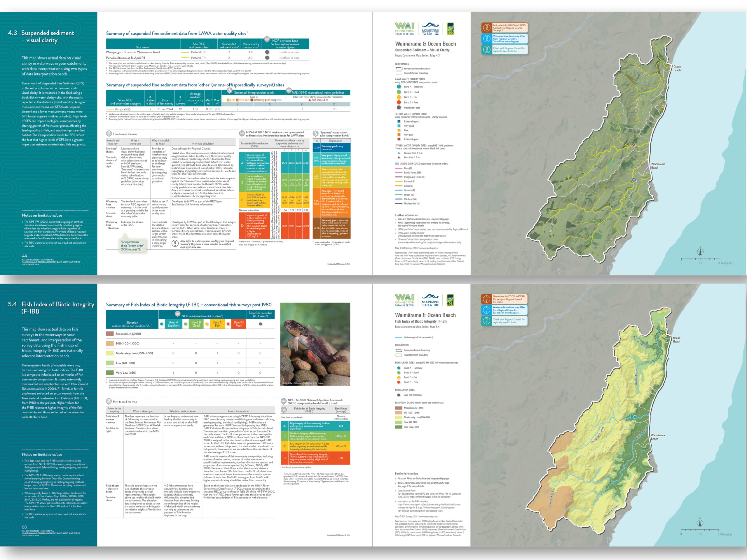
The FCMS is structured to empower catchment groups by offering accessible science content and interpretation. Covering six key focus areas—parent catchment overview, factors affecting catchment processes, land management, water quality, ecological data, connection to the coast—the map series provides valuable insights into the health and challenges of each focus catchment. Each document includes over 90 pages of mapped data and accompanying explanations, crafted to help groups understand their catchments holistically and pinpoint critical areas for improvement. EOS Ecology’s role has been essential in ensuring that the FCMS delivers actionable insights to catchment groups nationwide, helping them identify and address key environmental challenges.
Comprehensive Data Integration & Design Outputs
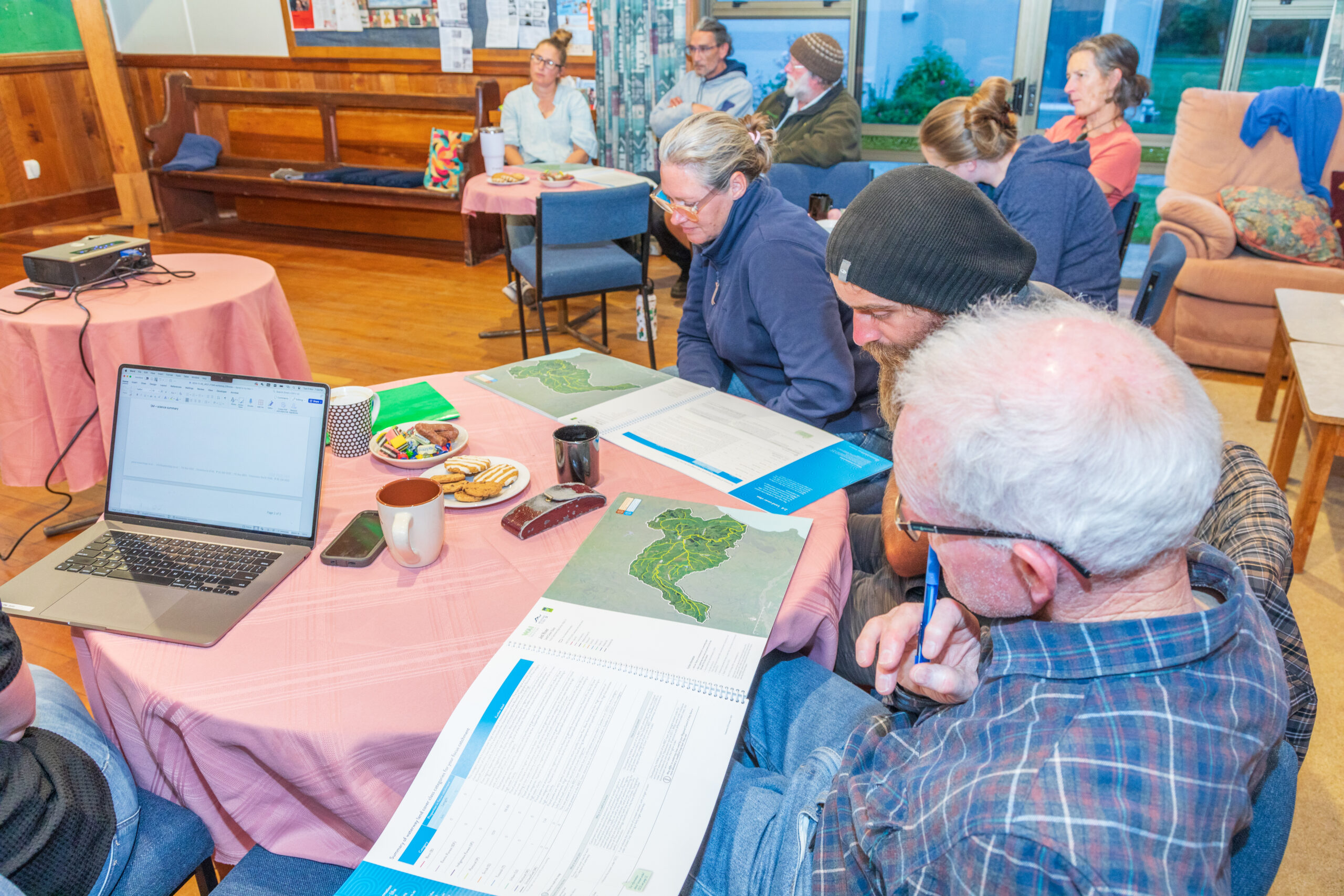
To create the FCMS, EOS Ecology developed specialized GIS and data analysis workspaces, enabling the seamless gathering and processing of consistent datasets across national and regional levels. Our science team and science interpreters then transform this often complex data to present it in a consistent and understandable way for the end-user. The map series template, developed in consultation with a regional council and tested with the Hakataramea Sustainability Collective catchment group, was designed to ensure adaptability and clarity for local catchment users, enabling groups across the country to easily compare and share their findings.
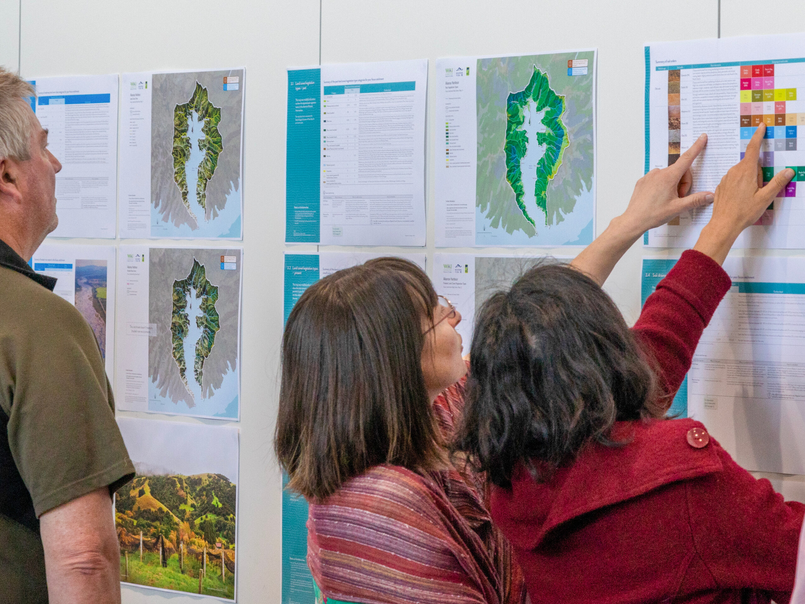
Stakeholder Collaboration & Community Engagement
Throughout the FCMS development, EOS Ecology collaborated closely with Environment Canterbury to avoid duplication of efforts and to align with existing catchment outputs, such as the CCCV mapping for Freshwater Farm Plans. Community engagement was prioritized, with the team gathering feedback and refining the FCMS template based on our pilot development and ongoing input. This collaborative process ensures the FCMS is a trusted resource for councils and communities, strengthening connections between catchment groups and encouraging cooperative environmental management.
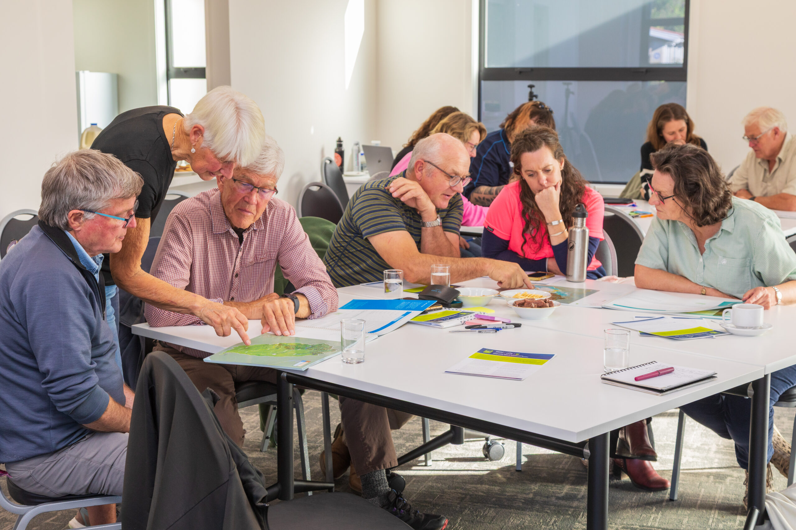
Positive Impact & Expanding Reach
The response to the FCMS has been overwhelmingly positive, with requests for additional catchment map series from the eight active ‘Wai Connection’ regions. End-users, including councils and catchment groups alike, have praised EOS Ecology’s ability to distil complex scientific data into clear, accessible formats that benefit catchment management efforts. With our FCMS development and delivery process well established, EOS Ecology’s integrated science and technical support will be able to continue to provide useful catchment-based outputs for community and catchment groups, helping to drive impactful, science-led environmental solutions across New Zealand’s catchments.